#17,440
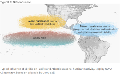
While we wait to see whether the predicted El Niño forms this summer in the Pacific, and how much of an impact that will have on this year's Atlantic Hurricane season (see El Niño & The CSU Initial Atlantic Hurricane Season Forecast), preparations are underway for dealing with whatever does come our way.
While strong El Niño years generally see fewer hurricanes, they still can happen. And two of the strongest landfalling hurricanes on record (Camille in 1969 and Andrew in 1992) occurred in El Niño years.
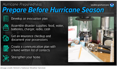
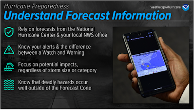
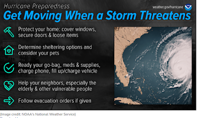
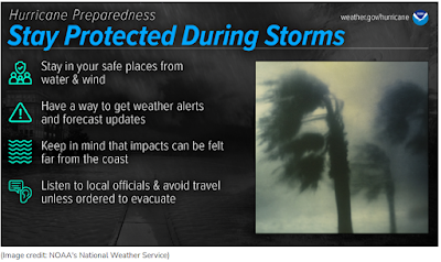
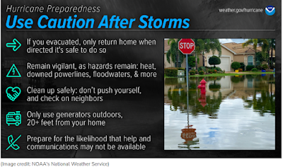
As we do every year, we'll devote a fair amount of time to hurricane preparedness and storm safety, beginning with themes from this year's National Hurricane Preparedness Week from NOAA.
Click the graphics, or follow the links below, for more detailed information for each day.
While I'll be doing usual hurricane preparedness blogs - and I follow Mark Sudduth's Hurricane Track, and Mike's Weather page - your primary source of forecast information should always be the National Hurricane Center in Miami, Florida.
If you are on Twitter, you should also follow @FEMA, @NHC_Atlantic, @NHC_Pacific and @ReadyGov, and of course take direction from your local Emergency Management Office.These are the real experts, and the only ones you should rely on to track and forecast the storm.
HURRICANE SAFETY
ADDITIONAL RESOURCES

